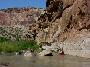
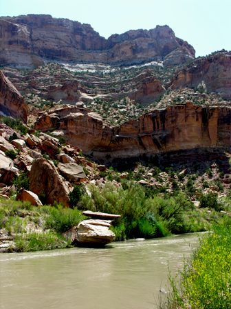
The San Rafael is not a big river in Utah - there are only two rivers in the entire State which are not quite small - the Colorado and it's major tributary, the Green, both originating in the Rockies. The San Rafael itself originates in the Wasatch range, home to Utah's powder snow and backdrop to Salt Lake City, at its southern end. It's season is short, but later than most Utah river due the elevation of the source.
That fact means it can possibly be quite hot - something you should be careful, especially if you wear a life jacket and/or have extra insulation as do I.

The guidebook I used rates this river as 'class 1 1/2' - which I'd agree with. Do note that it is a wilderness trip and has log jams and brush hazards - a good trip for anyone who is reasonably fit, outdoor risk comfortable, and able to paddle a boat on a lake. It is 17 miles which makes it long enough for an overnight - and also adds to the risks of heat exhaustion. Personally, it reminded me of the Escalante nearer to Lake Powell, though much shorter and definitely easier.
There are at least three major side canyons. As with most Utah Canyon rivers your best source for side hike info will be one of the specialty canyoneering guidebooks for the specific area.
The southern access to this river is just across the Freeway from the BLM dirt road access to the Crack canyon slot. The takeout is a spectacular spot, and has a campground. If you wish to create the best experience for canyon neophytes definitely access this route from the north and only spoil the shuttle drivers.
I exited that way, towards Salt Lake via the Huntington drainage - a cool escape from the 100 degree desert - and what looks to be some great intermediate 3+ continous small mountain whitewater. My riverside streamsite was incredibly beautiful.
