Approaching the Escalante River
![]()
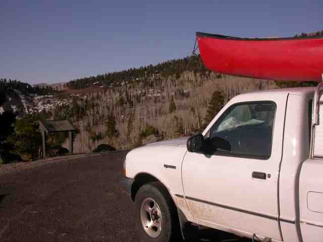
A good year on the Escalante requires a snowpack in its relatively low elevation headwaters. This is a picture taken at aprox. 9000 feet on the road between Torrey and Escalante, just before the town of Boulder.

This is the view from the other direction - of the Escalante basin. Lake Powell is located on the far left in this picture. The Escalante canyon transverses most of this view.
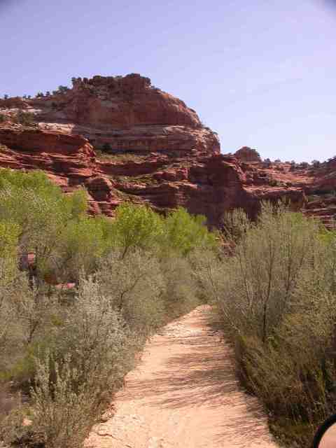
This is the Escalante at the put-in near Calf Creek. This is approximately 65 CFS on the upstream Escalante gage, located about 15 miles upstream. 50 CFS is recommended. We dropped to about 45 or so over the course of our run.
I'd estimate actual flow here in the range of 250-300 CFS. Although small note that the water is fast, and cold. Hypothermia is a risk, as would be some sort of freak entrapment accident - but mostly the hazards are annoyances. The Russian Olive, seen here lining the banks, can scratch. On the lower stretches, where an eradication effort has taken large steps, the material has accumulated in beaver lodge sized jams. Regardless of your craft you will get hung up on rocks. I ran the Middle Fork of the Salmon at low water and never capsized - here my open boat flipped twice.
![]()